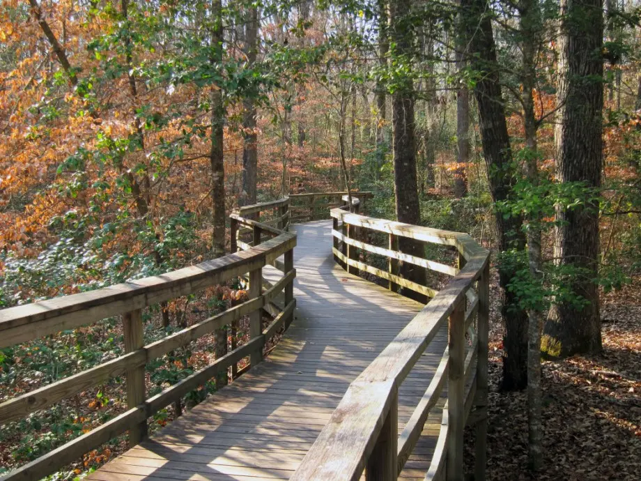
Think the Western states have all the great U.S. National Parks? If you expand your horizons and consider all that the National Park Service offers—heritage areas, wild and scenic rivers, national trails—you may find yourself setting up base camp in North Carolina’s Queen City. From the Frasier fir and Norway spruce-clad peaks of the Smokies to the bald cypress and tupelo-covered floodplain of Congaree, surprising biodiversity awaits you in the National Park sites just a day’s drive from Charlotte.
Kings Mountain National Military Park
Less than an hour south of Center City, Kings Mountain National Military Park marks the rocky forests and fields where, in 1780, militia troops fought British Loyalists. The British had just invaded Charleston, and the Patriots were desperately in need of a victory. Exhibits along the 2-mile battlefield trail bring the short but fierce skirmish to life, along with reenactment events held throughout the year.
Pick up the 16-mile Park Loop at the visitor center for a moderate, non-technical trek south through the military park and adjacent Kings Mountain State Park. Or, hike north along the 16-mile out-and-back Ridgeline Trail that connects Kings Mountain to Crowders Mountain State Park in North Carolina.
Blue Ridge Parkway

Two hours due west of Charlotte, you can hop on the 469-mile Blue Ridge Parkway to access more than 300 miles of trails in North Carolina and Virginia. From the banks of the James River to the lofty peaks of Pisgah, the BRP offers trails for everyone, from families with small children to seasoned endurance hikers.
Start at Beacon Heights, milepost 305.2, to access the 13.5-mile Tanawha Trail. Running parallel to the Parkway, the Tanawha climbs Rough Ridge for expansive views, passes under Linn Cove Viaduct along Wilson Creek, and skirts Grandfather Mountain State Park to end on the shores of Price Lake outside Blowing Rock.
Drive north to milepost 238.5 to access more than 30 miles of interconnecting trails at 7,000-acre Doughton Park. If you cross the park’s open meadows you’ll reach pioneer homesteads that were a part of the once-thriving Basin Cove community. For a challenging workout, and insight into the hardy souls who first settled the region, hike the 7.5-mile Bluff Mountain Trail to the Brinegar Cabin and Basin Cove Overlook.
Congaree National Park

A dramatically different landscape unfolds two hours south of Charlotte at Congaree National Park. Here, the largest intact tract of old-growth bottomland forest in the Southeast marks the confluence of the Congaree and Wateree rivers. Most of the park lies in a floodplain, creating a nutrient-rich environment to support the park’s towering trees and diverse river ecosystem.
Start at the visitor center to hike the 10-mile River Trail along the Congaree. To add distance on the flat terrain, branch off to do the 6.6-mile Oakridge Trail loop or the 11.7-mile out-and-back Kingsnake Trail. Both additions travel low-lying sloughs along Cedar Creek for some of the best birding and wildlife viewing in the park.
Water levels can fluctuate up to 10 feet, making for deep mud, high water, and, at times, impassable trail conditions, especially from late fall through spring. A half-day guided paddle tour along the park’s Canoe Trail offers another great way to experience this unique ecosystem when the water is running high.
Great Smoky Mountains National Park

It’s tough to find an off-the-beaten-path day hike in America’s most visited national park, but the 17-mile out-and-back trek to Mt. Guyot not offers the chance to enjoy some solitude in Smoky Mountains National Park. Hike it in early spring to enjoy the best high-mountain view and walk among wildflowers at lower elevations. Also, is spring you’ll have the opportunity to chat with AT thru-hikers trekking north out of Georgia.
A 3.5-hour drive west of Asheville to Tennessee leads to Cosby Campground and the Snake Den Ridge trailhead. A 4.5-mile ascent to Inadu Knob leads you to a left at the trail junction to join the Appalachian Trail just under a mile ahead. Hike south on the AT, watching for a faint manway as you round Guyot’s summit in a counterclockwise direction. The manway will branch off to the summit before the trail begins its descent to Tricorner Knob shelter.
The final 300-foot bushwack ascent leads to Mt. Guyot’s summit, understatedly marked by a cairn and benchmark. Don’t expect expansive views from this peak. At 6,621 feet, the summit is characterized by dense, old-growth forest and mossy piles of deadfall. Guyot’s magic is in the intimate quiet of the heavily forested peak, second highest in the Smokies and nearly untouched compared with the time-worn trails leading to the park’s other giants, Leconte and Clingmans Dome.
New River Gorge National River

A 3.5-hour drive north through Beckley, West Virginia, leads to the New River Gorge National River. Among the oldest rivers on the planet, the New carves a deep swath 53 miles long through the Appalachians. Cliffs, forest seeps, and floodplain create a diverse habitat to support endangered mammals, rare birds and amphibians, and a plentiful aquatic ecosystem.
To experience the full impact of the gorge, hike the six miles of trail in the Grandview area. A 3.2-mile out-and-back on the Turkey Spur Trail, combined with the Grandview Rim Trail, give you bird’s-eye views into the deepest section of the canyon. On the Little Laurel Trail you’ll descend 1,400 feet and pass a former coal mine to reach the river’s edge.
Originally written by RootsRated for OrthoCarolina.
Back


September 29, 2018